Civil Engineering & Land Surveying
Our Services
Full-Service Civil Engineering
Davel Engineering & Environmental, Inc. provides clients with a range of civil engineering and land surveying services, including all aspects of land and site development. We are committed to using the latest technology, including robotic instruments, and GPS equipment. State-of-the-art technology combined with excellent staff training, innovative design, and regulatory insight allows us to quickly and accurately produce building plans.
Land Development
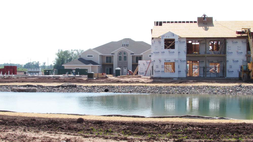
Residential Subdivisions
Read More
Other preliminary studies, such as flood plain studies, wetland delineations, or soil borings may be required. Whether we begin with an owner’s concept for development or design one of our own, the next step is a preliminary plat where we apply the concept plan to the surveys and studies prepared for the land parcel to design the proposed land division. At this step, drainage and stormwater management plans, street profiles and sewer and water service plans are designed. All these plans are submitted to the local municipality for review against their ordinances and comprehensive land use plans. They may also invite the public to a meeting to offer comments on the plans.
The State Department of Administration and Department of Natural Resources (DNR) will review the plans and plat and then issue permits. It may take several iterations of designs and public meetings to obtain a Preliminary Plat approval from the local authority, and the process may take several months. After receiving the Preliminary Plat approval, construction can usually begin as long as all the other construction-related permits are received.
The Final Plat is a separate step that requires local and state approvals and is the document recorded at the Register of Deeds which actually creates the lots. The Final Plat will address any conditions of approval made by the local and state authorities. Our services do not stop when the plat is approved. We will assist the owner in hiring contractors to build the subdivision roads, drainage, and utilities. During the construction phase, we will provide construction surveying for the contractors and provide record drawings to the municipality.
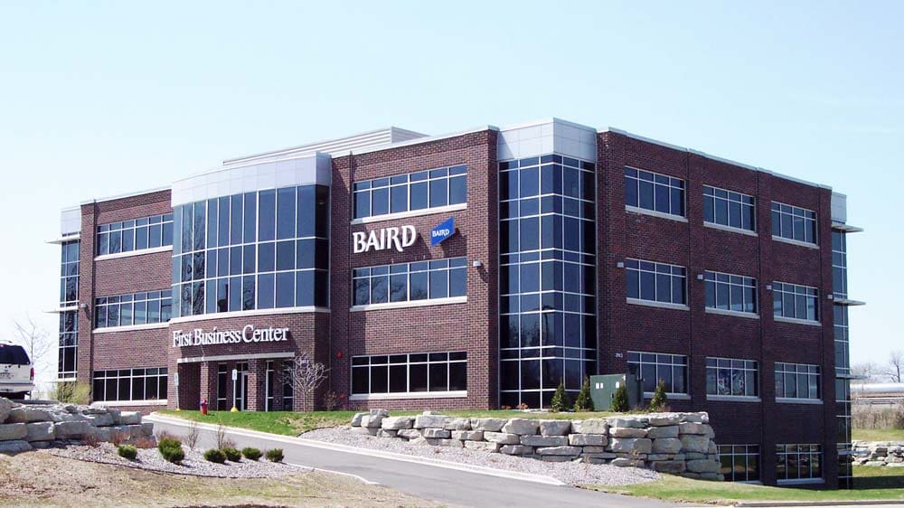
Commercial/Industrial
Read More
At the start, we provide topographic, ALTA boundary surveys, wetland determinations, Phase 1 Environmental Studies, and other preliminary engineering studies. We work with the architect or general contractor to design the parking facilities, building services, grading plans, erosion and sediment control plans, and stormwater management plans. During construction, we provide construction surveying for the layout of the buildings, pavements, or other various site features.
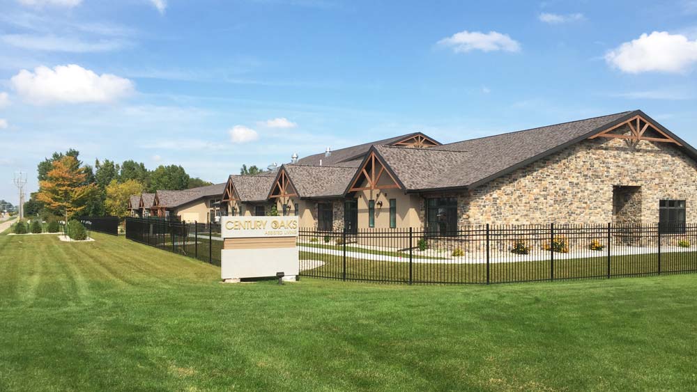
Multi-Family and Planned Developments
Read More
We can also represent the owner at public hearings to help present the project and answer technical questions related to developing the parcel.
Once zoning is in place, a site plan for the development must be prepared, in order to obtain the approval to construct the development on the parcel of land. Sometimes this zoning permit is called a Conditional Use Permit, Special Use Permit, or a Planned Development. We can design the site layout if the proposed building footprints are provided, or we collaborate with the architect who is designing the buildings to design the site plan.
Stormwater Management Plans and Sewer and Water Service Plans are a required part of the site plan review process, which will be prepared based on the site plan designed. This type of project does not usually involve a subdivision of land, but may require a Certified Survey Map, which is a minor land division to create the parcel of land for the development. The projects are usually served by private, not public roads. They may involve a single stand-alone home or building that contains many residential units within the same building. If the homes are to be sold, a Condominium Plat is prepared and recorded at the Register of Deeds, where the title to the home is based. Certified Survey Maps and Condominium Plats are instruments of our service.
Once construction begins, we can provide construction surveying to layout the buildings, roads, and utilities.
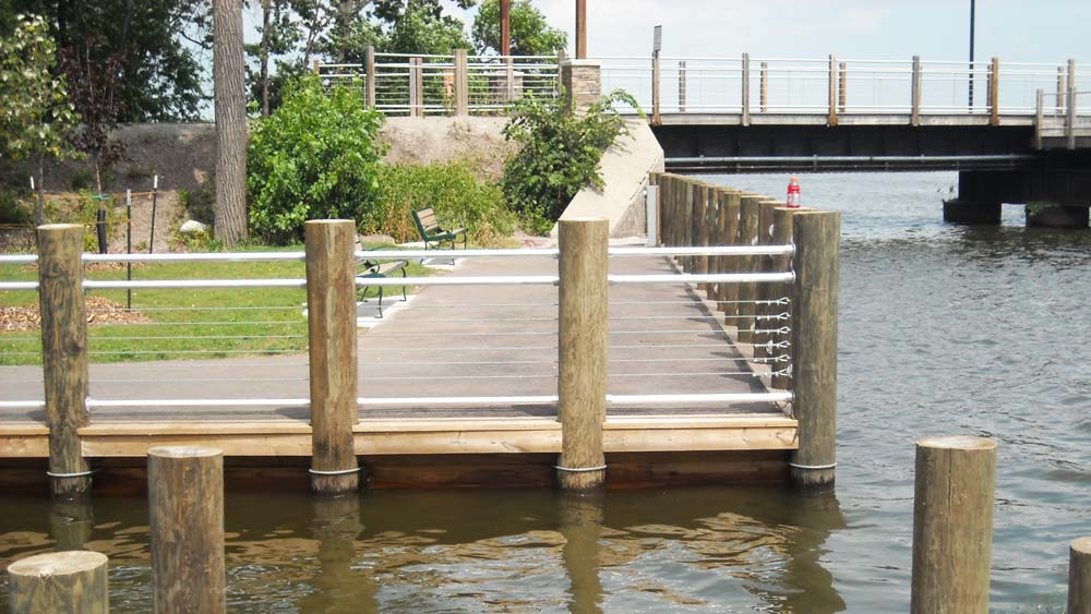
Parks and Recreational
Read More
Our maps and surveys will become the base map for the park planner to use. Once the conceptual layout and features of the park are established, we will get involved in the design of roads and parking areas, stormwater management facilities, walking trails, or trail bridges. Construction surveying is provided to the contractors building the park so that every feature is constructed in the right place!
Engineering Studies
Floodplain and Floodway Analysis
Read More
Stormwater Runoff/Drainage Studies
Read More
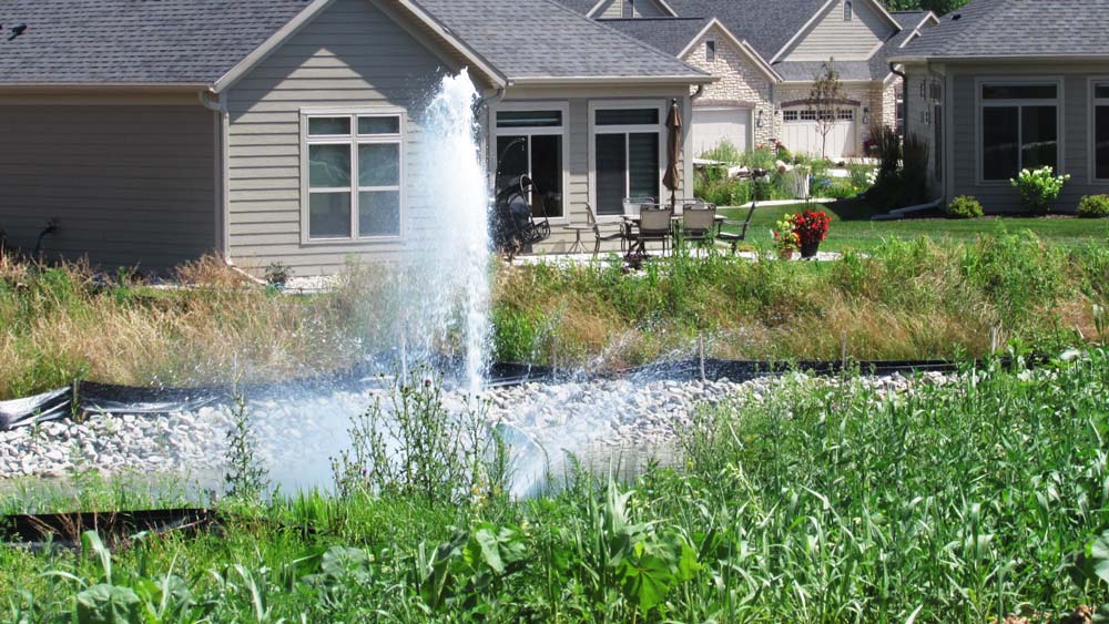
A separate study might be done to size a storm drainage facility or to study why something flooded. We use hydrologic modeling software using methods established by the USDA Soils Conservation Service or other agencies. A drainage study would also combine an analysis of topography to determine the direction and concentration of the surface water runoff. This service would be a necessary phase in a subdivision or commercial development as a part of a Stormwater Management Plan.
Environmental Services
Phase I & II Environmental Site Analysis
Read More
A Phase I ESA consists of a records review, interviews with owners, occupants, government officials, and a site inspection to determine if a Recognized Environmental Condition (REC) may potentially exist. A Phase II ESA is conducted if there is any potential that contamination exists and includes confirmation of the presence or absence of contamination.
Soil Evaluations (Lab & Field)
Read More
Davel Engineering provides a variety of soil profile evaluations, laboratory testing, groundwater elevation verification, and texture analysis for purposes of determining site suitability for septic systems, stormwater ponds, wildlife ponds and wetlands, foundation elevations, presumptive bearing capacity and depth to bedrock.
Wetland Delineations
Read More
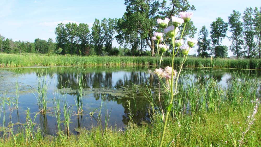
There are several definitions of wetlands. The State of Wisconsin’s definition of wetlands is: “An area where water is at, near or above the land surface long enough to be capable of supporting aquatic or hydrophytic vegetation and which has soils indicative of wet conditions.” Basically, an area that is wet, inundated, or saturated within 1 foot of the surface for 14 consecutive days during the growing season may meet the hydrology definition of a wetland.
We can identify and mark the wetland boundary, do a survey, and show it on an exhibit map for review and planning. The required reports are generally submitted to the DNR and U.S. Army Corps of Engineers and other government agencies with jurisdiction for review and/or concurrence. This process can take some time, which is why it is important to identify the wetland boundary well in advance of planning.
Wetland Permitting
Read More
Our surveyors, engineers, and environmental staff have vast experience in navigating this onerous process and have a good working relationship with the local regulators. Davel Engineering can provide all the services needed in preparing a wetland permit application.
Land Surveying
Construction Services
Read More
We offer construction observation, residential house site plans, and erosion control plans and inspections.
Land Divisions
Read More
A Certified Survey Map, or CSM as it is commonly referred, is utilized to create four or fewer lots and is reviewed by the county and local municipality. The landowner is limited to the creation of four lots with a CSM in a five year period of time. This can vary by county.
Finally, a condominium plat can be utilized for residential or commercial property and creates units instead of lots to be sold. The condominium plat is typically utilized when a subdivision of the lands is not practical. The condominium is prepared in conjunction with the declaration, prepared by an attorney, which defines the governing board along with the owners’ rights and responsibilities.
For all land divisions, we offer a free consultation to determine the feasibility and requirements for moving forward with your development.
Property Surveys
Read More
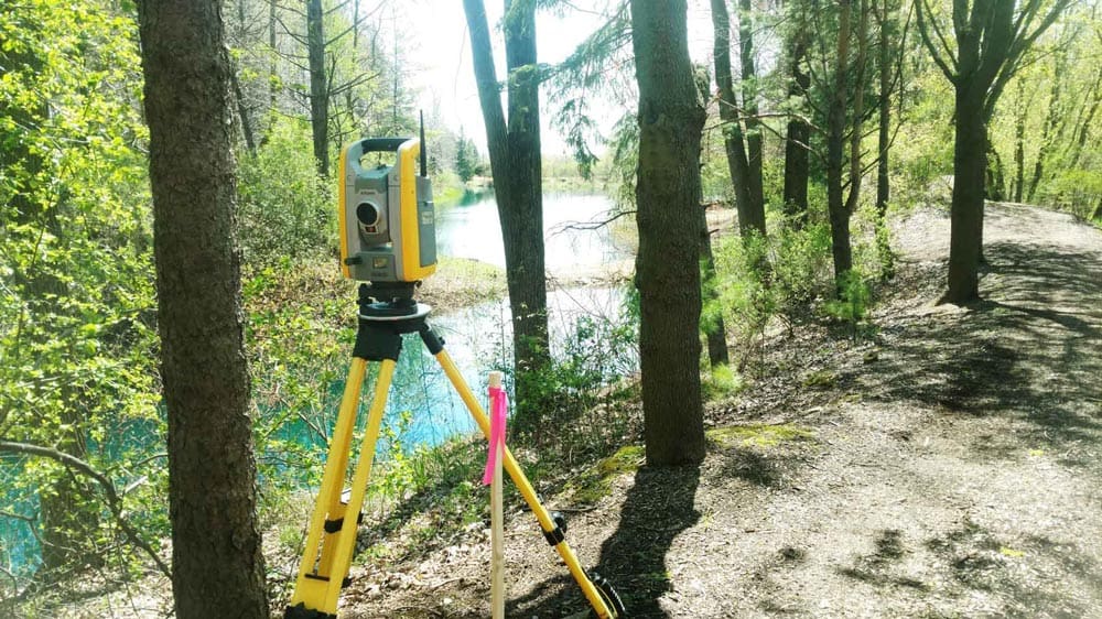
The Plat of Survey is a basic survey of the boundary of a residential or commercial property. This survey is typically requested when the client wants to put up a fence, install landscaping, or determine if a neighbor’s improvements are encroaching on their property.
An ALTA survey is typically for commercial property and is requested by the individual purchasing a property or the financial institution providing the loan for the project. The person requesting the survey typically chooses the survey requirements from Table A of ALTA survey requirements. These requirements are used to remove exceptions from the title insurance policy.
No matter the size of your parcel, we would be happy to provide you with a quote for a survey of your property.
Topographic Survey
Read More

Public Works
Local Street Reconstructions
Read More
Sanitary Sewer and Water Main Extensions
Read More
Walking Trails and Sidewalks
Read More
Site Development
Parking Lots
Read More
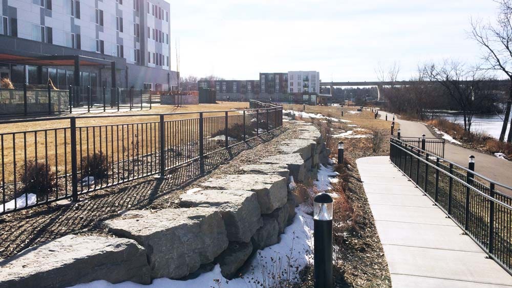
For many municipalities, their stormwater ordinance will require stormwater controls for as little as 4,000 square feet of new impervious area. Other permits such as site approvals and erosion and sediment control permits will likely be required. We can help determine quickly and exactly what is required and help find the easiest path to completion. Our services may include a grading and drainage plan for the parking lot, an erosion control plan, site approvals and permits, stormwater management design, construction layout, bidding and contracting.
Stormwater Ponds
Read More
There are other practices that can be used instead of or in conjunction with other practices to achieve the same results.
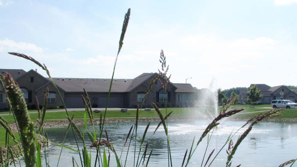
The “pond” can even be placed underground under a parking lot, for instance, to conserve land. A stormwater pond is usually part of a larger project. Occasionally we are brought in as a team member to design just this aspect of the project. Aside from the design, which includes hydraulic and hydrologic modeling, a written Stormwater Management Plan and Operation and Maintenance Plan are usually required by the authority.
Wondering if Davel Engineering can help you with your civil engineering and land surveying project? We bet we can! Give us a call or contact us today for a free consultation from a member of our experienced team.
Wondering if Davel Engineering can help you with your civil engineering and land surveying project? We bet we can! Give us a call or contact us today for a free consultation from a member of our experienced team.

Visit Us
Davel Engineering
1164 Province Terrace
Menasha, WI 54952
Get Directions
Contact Us
Business Hours
Monday - Friday: 8:00 AM - 6:00 PM
Saturday - Sunday: Closed
